Introduction
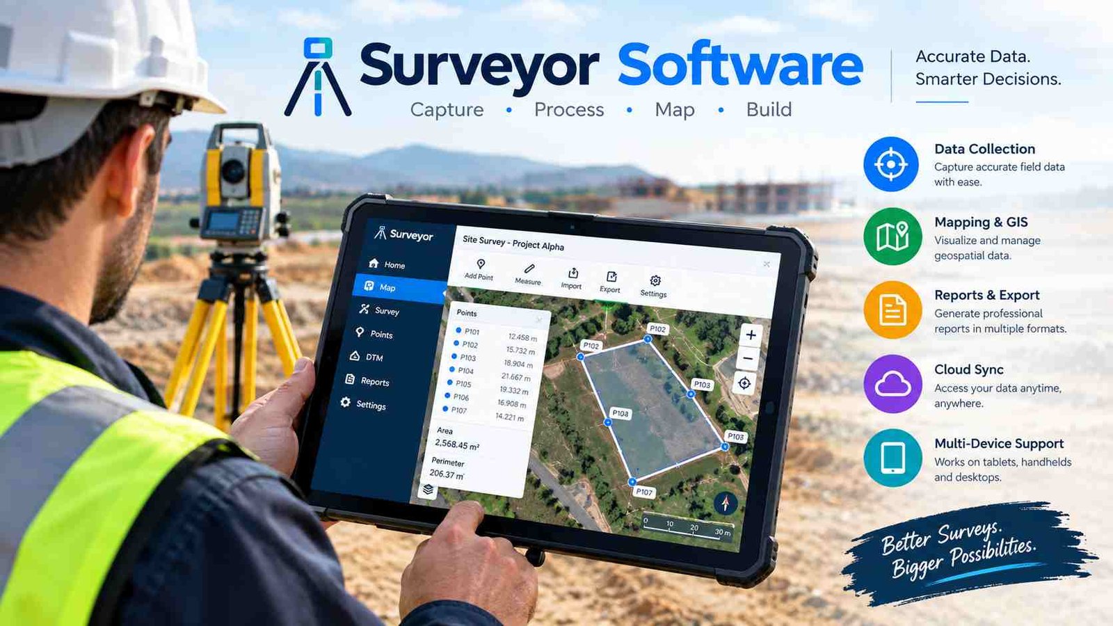
Surveyor software has become an essential tool for modern land surveying, helping professionals collect, process, and manage accurate geographic data with greater speed and precision. Whether measuring property boundaries, creating topographic maps, or planning construction projects, digital surveying software replaces many of the slow and error-prone tasks that were once completed manually.
Traditional surveying depended heavily on handwritten field notes, paper maps, and manual calculations. While those methods worked, they required significant time and increased the risk of mistakes. Today, surveyor software connects directly with GPS receivers, total stations, drones, and laser scanners to create accurate digital maps and engineering drawings in much less time.
The biggest advantage of using surveyor software is its ability to improve accuracy while simplifying the entire field-to-office workflow. Survey teams can capture data on-site, transfer it instantly, process coordinates, generate reports, and share completed projects with clients and engineers through cloud-based platforms.
In this guide, you will learn what surveyor software is, how it works, its key features, the different types available, pricing models, hardware compatibility, and the best software solutions for surveying professionals.
What Is Surveyor Software?
Surveyor software is a digital application designed to help professionals collect, analyze, process, and manage surveying data. It transforms raw measurements from surveying equipment into accurate maps, drawings, reports, and 3D terrain models. Instead of performing calculations manually, the software automates complex mathematical processes, making projects faster and more reliable.
The primary purpose of surveyor software is to organize field data and convert it into useful engineering information. It supports coordinate calculations, boundary creation, contour mapping, elevation analysis, parcel drafting, and construction layout. Many modern platforms also integrate with CAD and GIS systems, allowing survey data to be shared across multiple departments.A wide range of industries depends on surveyor software. Land surveyors use it for property and boundary surveys, while civil engineers rely on it during road and infrastructure design. Construction companies use digital layout tools to position buildings accurately, and GIS professionals combine survey information with spatial databases. Mining companies, utility providers, and environmental consultants also use surveying software to measure land, monitor terrain changes, and manage large geographic projects.
Common surveying projects include boundary surveys, topographic mapping, highway construction, utility mapping, subdivision planning, and site development. Regardless of project size, surveyor software helps professionals deliver accurate results while reducing manual work.
How Surveyor Software Works?
The workflow of surveyor software follows a structured process that begins in the field and ends with professional project deliverables. Each stage improves data quality while reducing repetitive tasks.
Step 1: Collect Field Measurements
Surveyors begin by gathering measurements using GNSS/GPS receivers, total stations, robotic instruments, laser scanners, or mobile surveying tablets. These devices capture coordinates, elevations, distances, and angles with high precision.
Step 2: Import Field Data
Once fieldwork is complete, the collected information is imported into the software. Most platforms support formats such as CSV, DXF, LandXML, coordinate files, and proprietary survey databases, making data exchange simple across different equipment manufacturers.
Step 3: Process Survey Observations
The software automatically performs coordinate calculations, traverse adjustments, elevation corrections, and quality checks. Errors or inconsistencies are identified before drafting begins, improving overall project accuracy.
Step 4: Create Maps and Drawings
Processed data is converted into topographic maps, boundary plans, contour drawings, parcel layouts, and digital surface models. Integrated CAD tools allow surveyors to add annotations, dimensions, and engineering details.
Step 5: Generate Reports and Deliverables
Finally, surveyor software exports professional deliverables including PDF reports, CAD drawings, GIS layers, and client documentation. This streamlined workflow reduces project turnaround time while maintaining consistent quality from field measurements to final presentation.
Key Features of Surveyor Software
Modern surveyor software includes powerful tools that support every stage of surveying, from data collection to final documentation. These features improve productivity and help teams complete complex projects efficiently.
Field data collection allows surveyors to capture points digitally instead of writing measurements on paper. Attribute recording and coding systems automatically organize objects such as trees, roads, utilities, and property corners, making later processing much easier.
GNSS and GPS integration supports RTK positioning, coordinate system management, and datum transformations. This ensures measurements remain accurate even when projects cover large geographic areas or require multiple reference systems.
Total station connectivity enables direct communication between surveying instruments and the software. Measurements can be transferred instantly, reducing transcription errors and allowing real-time verification while still on-site.
Integrated CAD drafting tools provide linework creation, parcel drafting, dimensioning, labeling, and annotation features within the same environment. Surveyors do not need to recreate drawings manually, saving valuable office time.
Surface and terrain modeling features generate Digital Elevation Models (DEMs), contour maps, slope analysis, and earthwork volume calculations. These tools are especially valuable for construction, mining, and infrastructure projects.
GIS compatibility allows survey information to be shared with spatial databases through shapefiles and georeferenced datasets. Cloud collaboration further improves teamwork by enabling project sharing, version control, and remote access, while automated reporting creates professional documentation with minimal manual formatting.
Types of Surveyor Software
Different surveying projects require different software solutions. Rather than one program serving every purpose, specialized applications are designed for specific industries and workflows.
Land surveying software focuses on property boundaries, parcel creation, subdivision planning, and legal survey documentation. It is commonly used by licensed land surveyors and cadastral professionals.
Construction surveying software supports stakeout operations, building layout, grading, and infrastructure positioning. Contractors and civil engineering teams use these tools to transfer design coordinates accurately onto construction sites.
GIS surveying software combines precise field measurements with geographic information systems. It helps municipalities, utility companies, and environmental organizations analyze spatial data while maintaining accurate mapping records.
Drone surveying software processes aerial photographs into orthomosaics, point clouds, and 3D terrain models using photogrammetry. This significantly reduces the time required to survey large or difficult-to-access areas.
Hydrographic surveying software specializes in underwater measurements, marine navigation, harbor construction, and river surveys. It processes sonar and depth measurements to create detailed seabed models.
Mining survey software supports pit mapping, stockpile measurement, volume calculations, and terrain monitoring. These applications help mining companies improve operational planning while maintaining accurate records of changing landscapes.Choosing the right surveyor software depends on your industry, equipment, project complexity, and reporting requirements.
Benefits of Using Surveyor Software
The greatest advantage of surveyor software is its ability to improve both accuracy and efficiency throughout the surveying process. Instead of relying on manual calculations and disconnected workflows, professionals can complete projects with greater confidence and consistency.
Higher measurement accuracy comes from automated coordinate processing and direct integration with GNSS and total station equipment. The software minimizes calculation mistakes and verifies data quality before final drawings are produced.
A faster field-to-office workflow allows survey teams to transfer measurements digitally without re-entering information. This saves hours of office work and reduces delays between data collection and project delivery.
Reduced manual errors improve reliability because coordinates, elevations, and feature codes are imported directly from surveying instruments. Automated validation tools also identify missing or inconsistent observations before reports are finalized.
Better project organization is achieved through centralized digital storage, standardized file naming, and searchable project databases. Teams can quickly retrieve previous surveys instead of searching through paper records.
Cloud collaboration allows multiple surveyors, engineers, and project managers to work on the same project simultaneously. Version control ensures everyone accesses the latest drawings and prevents conflicting edits.
Surveyor software also supports regulatory compliance by maintaining detailed documentation, audit trails, and standardized reporting formats required by government agencies or engineering clients. The result is increased customer satisfaction through faster delivery, clearer reports, and long-term cost savings created by reduced rework and improved operational efficiency.
Essential Hardware That Works with Surveyor Software
Surveyor software becomes even more powerful when connected to professional surveying equipment. Hardware integration allows measurements to move directly into digital workflows without manual entry.
GNSS receivers provide highly accurate satellite positioning and are commonly used for boundary surveys, control points, and large infrastructure projects. The software processes RTK corrections and manages coordinate reference systems automatically.
Total stations measure angles and distances with exceptional precision. Connected surveyor software imports observations instantly, allowing surveyors to verify measurements before leaving the site.
Robotic total stations add automation by tracking prisms and enabling single-person surveying operations. Their real-time communication with software increases productivity during construction layout and engineering projects.
Drones capture aerial imagery that surveyor software converts into orthomosaics, 3D models, and elevation maps. This technology is especially valuable for large land developments and environmental monitoring.
LiDAR scanners collect millions of elevation points to create highly detailed point clouds. Survey software processes this information into accurate terrain models for engineering and infrastructure design.
Tablets and mobile data collectors serve as digital field notebooks, allowing surveyors to record attributes, view maps, edit observations, and synchronize projects with cloud databases while working outdoors.
Best Surveyor Software Solutions in 2026
Different surveying workflows require different software strengths. Some programs specialize in CAD drafting, while others focus on GNSS processing, GIS integration, or drone mapping. The table below highlights popular solutions and their primary use cases.
| Software | Best For | Primary Strength |
| Carlson Survey | Land surveying | Field-to-finish workflow |
| AutoCAD Civil 3D | Civil engineering | Advanced CAD drafting |
| Trimble Business Center | GNSS processing | Survey data analysis |
| Leica Infinity | Geodetic surveys | Coordinate adjustment |
| MicroSurvey CAD | Boundary surveys | Survey drafting |
| ArcGIS Survey123 | GIS teams | Mobile field data collection |
| Topcon MAGNET Office | Construction | Instrument integration |
| Virtual Surveyor | Drone mapping | Terrain modeling |
The right choice depends on your equipment, project type, team size, and whether your workflow is primarily desktop, mobile, or cloud-based.
How to Choose the Right Surveyor Software?
Selecting the best surveyor software requires more than comparing features. The ideal solution should match your daily workflow, hardware, and future business growth.
Start by identifying your survey type. Boundary surveys require strong parcel and legal drafting tools, while construction projects benefit from stakeout and layout features. Drone mapping and mining projects need advanced terrain modeling and point cloud processing.
Next, confirm hardware compatibility. The software should communicate smoothly with your GNSS receivers, total stations, drones, and mobile data collectors. Choosing compatible equipment reduces file conversion issues and improves efficiency.
Evaluate CAD and GIS capabilities based on your deliverables. Engineering firms often require advanced CAD drafting, while municipalities and utility organizations depend more heavily on GIS integration for spatial analysis.
Cloud versus desktop deployment is another important consideration. Cloud solutions simplify collaboration and remote access, whereas desktop software may provide greater control over large engineering datasets.
Finally, compare licensing models, training resources, customer support, and scalability. Investing in software that grows with your organization often delivers better long-term value than choosing the lowest initial cost.
Surveyor Software vs GIS Software
Although surveyor software and GIS software both work with geographic information, they serve different professional purposes. Surveying software focuses on precise measurement and engineering accuracy, while GIS emphasizes spatial analysis and geographic visualization.
| Feature | Surveyor Software | GIS Software |
| Primary purpose | Measurement & drafting | Spatial analysis |
| Coordinate precision | Very high | Moderate–high |
| CAD tools | Yes | Limited |
| Field equipment support | Extensive | Moderate |
| Mapping | Yes | Excellent |
| Engineering workflows | Strong | Limited |
Many organizations use both together. Surveyors collect accurate field measurements and create engineering-grade drawings, while GIS professionals use the same data to manage utilities, environmental assets, transportation networks, and municipal planning. Together, these systems create a complete geographic information workflow.
Common Challenges and How Surveyor Software Solves Them
Surveying projects often face technical and organizational challenges, but modern surveyor software provides practical solutions that improve project reliability.
Inconsistent coordinates frequently occur when multiple crews use different reference systems. Surveyor software manages coordinate transformations and standardizes project datums, ensuring every dataset aligns correctly.
Manual calculation errors can affect boundary locations and elevation results. Automated coordinate computation, traverse adjustment, and quality validation significantly reduce these risks while improving confidence in final deliverables.
Large terrain datasets generated by drones and LiDAR scanners can overwhelm traditional workflows. Modern software efficiently processes point clouds, contour models, and digital elevation data without requiring manual calculations.
Multi-crew collaboration becomes easier through cloud-based project management. Teams working in different locations can synchronize field observations, review updates, and maintain version control without duplicating files.
Data backup and security are equally important. Automatic cloud synchronization, encrypted storage, and regular project backups protect valuable survey records against hardware failure or accidental deletion, ensuring long-term accessibility for future projects.
Surveyor Software Pricing Guide
The cost of surveyor software varies depending on its features, deployment model, and intended users. Rather than focusing on exact prices, understanding common pricing structures helps businesses choose the most suitable option.
Free and open-source software is ideal for students, beginners, and small projects. While these tools may offer mapping and basic drafting features, they often have limited professional support.
Subscription licensing has become increasingly popular because it provides regular updates, cloud services, and technical support through monthly or annual payments. This model works well for growing businesses that want predictable operating costs.
Perpetual licenses involve a one-time purchase that grants long-term ownership of the software. Although the initial investment is higher, organizations with stable workflows may find it more economical over time.
Enterprise plans are designed for large engineering firms and government agencies. They typically include multiple user licenses, cloud collaboration, advanced security, and dedicated customer support.Factors affecting total cost include hardware integration, cloud storage, training, maintenance, software updates, and the number of users within your organization.
Best Practices for Using Surveyor Software
Getting the most value from surveyor software depends on following consistent professional practices. Accurate equipment alone cannot guarantee reliable results without organized workflows and quality control.
Calibrate GNSS receivers, total stations, and laser scanners regularly to maintain measurement precision. Even high-quality instruments require periodic verification to ensure dependable field observations.Use consistent coordinate systems throughout every project. Mixing datums or projection settings can create significant alignment errors during mapping and engineering design.
Organize projects with standardized naming conventions for drawings, field files, and control points. A structured database makes future revisions much easier and reduces confusion among team members.
Back up field data every day using cloud storage or secure local servers. Protecting raw measurements prevents costly data loss if equipment is damaged or misplaced.Always validate observations before creating final drawings. Reviewing elevations, traverses, and coordinate quality helps identify problems while corrections are still simple.
Finally, keep software updated and invest in staff training. New features, improved workflows, and better hardware compatibility often increase productivity more than replacing equipment alone.
The Future of Surveyor Software
The future of surveyor software is being shaped by automation, artificial intelligence, cloud computing, and advanced 3D mapping technologies. These innovations are helping surveyors complete projects faster while improving data quality.
AI-assisted surveying can automatically detect terrain features, classify objects within point clouds, and identify potential measurement inconsistencies. This reduces repetitive office work and speeds up data processing.
Drone automation continues to transform aerial surveying by allowing autonomous flight planning, rapid image capture, and faster photogrammetry workflows. Large construction sites can now be surveyed in hours instead of days.
LiDAR integration provides incredibly detailed elevation models that support infrastructure design, flood analysis, forestry management, and transportation planning. As hardware becomes more affordable, high-density scanning is becoming accessible to more organizations.Cloud-based collaboration enables field crews and office teams to share projects instantly, reducing delays and improving communication across multiple locations.
Digital twins represent another major advancement by combining survey data with real-time infrastructure information. These intelligent 3D models help engineers monitor assets, simulate future changes, and improve long-term project management. Together, these technologies are making surveying more connected, efficient, and data-driven.
Frequently Asked Questions
1. What skills should beginners learn before using surveyor software?
Beginners should understand coordinate systems, basic surveying principles, CAD drafting, GPS concepts, and data management. Learning these fundamentals makes professional software much easier to use.
2. Can surveyor software work without an internet connection?
Yes. Most desktop surveyor software can collect, process, and edit data offline. Internet access is mainly needed for cloud synchronization, updates, and team collaboration.
3. How often should survey data be backed up?
Professional survey teams should back up field data daily and create additional secure copies after major project milestones to prevent accidental data loss.
4. Is drone data compatible with surveyor software?
Yes. Many surveyor software solutions import drone imagery and process it into orthomosaics, contour maps, point clouds, and 3D terrain models.
5. What file formats are commonly supported by surveyor software?
Most professional applications support CSV, DXF, DWG, LandXML, Shapefile (SHP), PDF, and various coordinate file formats for smooth data exchange between surveying equipment and CAD or GIS platforms.
Conclusion
Surveyor software has transformed modern land surveying by replacing manual calculations with accurate digital workflows. From collecting field measurements to creating CAD drawings, GIS layers, and professional reports, it helps surveyors complete projects more efficiently and with greater precision.
Choosing the right surveyor software depends on your project type, hardware compatibility, and collaboration needs. Whether you work in land surveying, construction, mining, or infrastructure development, combining software with GNSS, CAD, GIS, drones, and cloud technology creates a smarter and more productive surveying workflow.